Registered water concession
Registered water concession. A registered 3-meter right-of-way (servidumbre) leads to the quebrada, which traces the neighboring boundary along the protected mother farm.
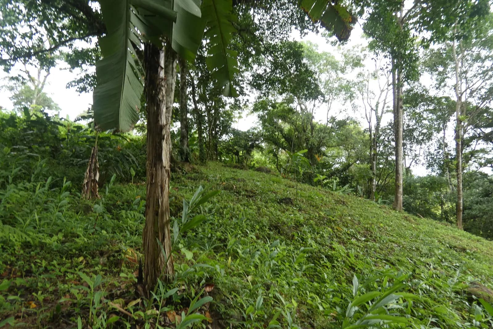
A 3,593 m² highland parcel.
A 3,593 m² parcel in the same La Alfombra highland cluster as Indian Rock and Lot 3 — mountain land above the Pacific in Pérez Zeledón, with public-road frontage.
Its boundary here is reconstructed from the registered survey plano and georeferenced to field-captured GPS corners — listing-grade, for reference only. The plano catastrado remains the legal document.
A survey-grade polygon rebuilt from the property’s derrotero and anchored to GPS corners we walked on the line — laid over satellite imagery and terrain. Listing-grade, not a legal survey; the plano catastrado remains the legal document.
The live boundary map loads once a Mapbox token is configured (NEXT_PUBLIC_MAPBOX_TOKEN). The survey-grade boundary for Free Bird · Lot 2 is built and ready.
Boundary reconstructed from the validated derrotero (area closes within ~1 cm) and georeferenced to field-captured GPS anchors. For position reference only — confirm against the registered plano.
The map above is pitched over real elevation data — you read the land the way it actually sits, ridge and fall, not a flat outline on a plat.
Highland air around 700 m: cooler nights, cloud-forest light, and the long view down toward the Costa Ballena.
Drone-flown slope, contour and water-flow mapping for this exact parcel is in preparation. Available on request as the highland sites become flyable.
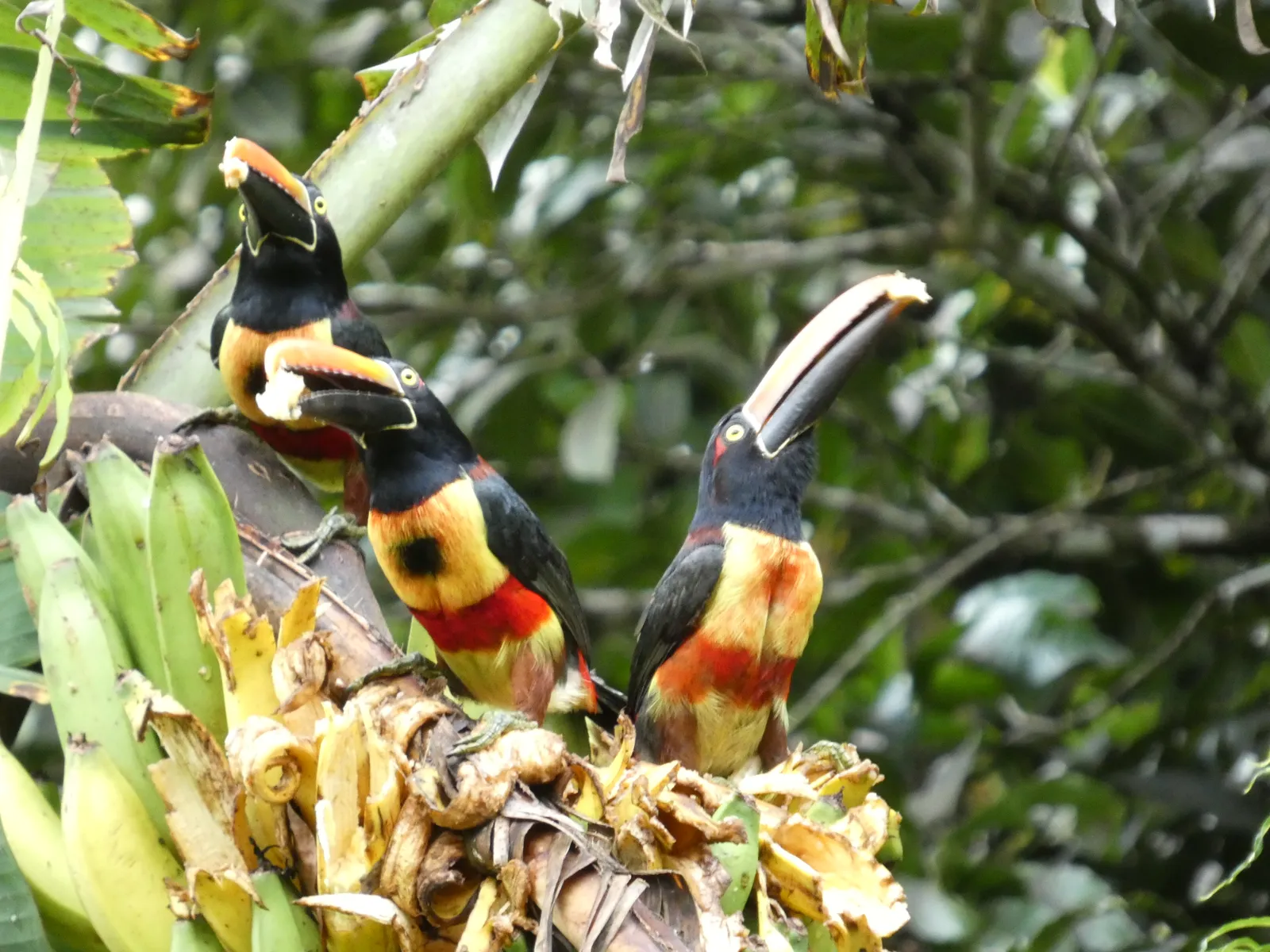 Fiery-billed Araçari
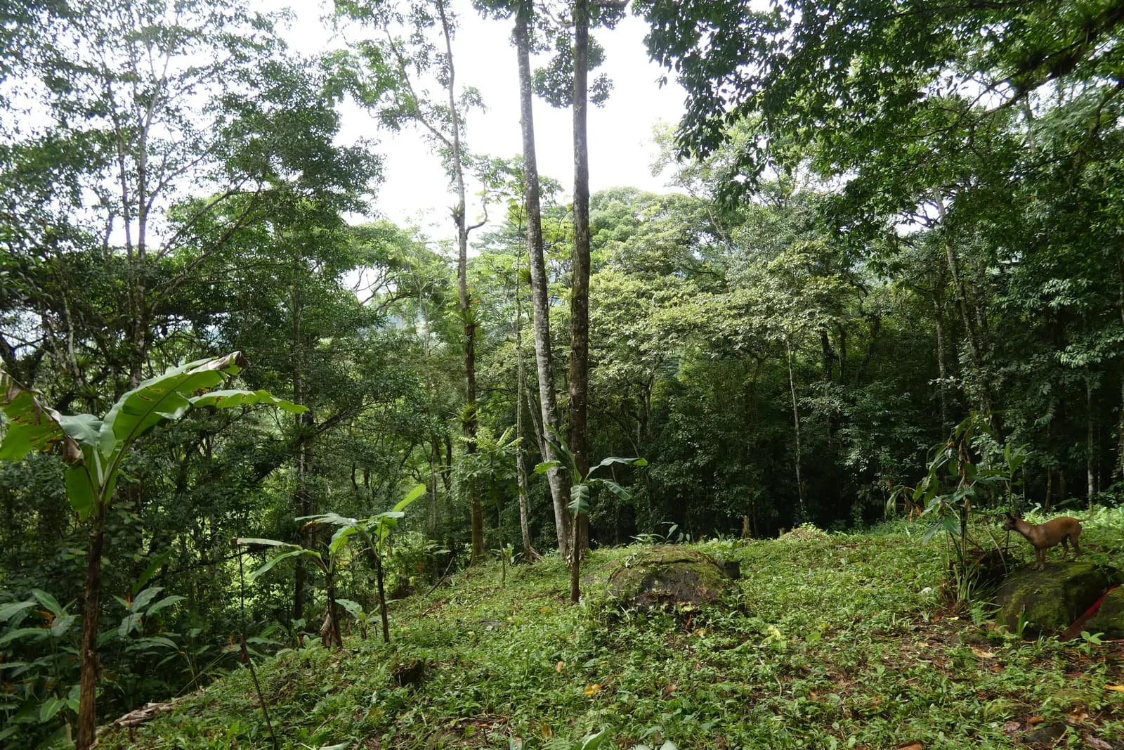 The clearing — brocket deer at the tree line
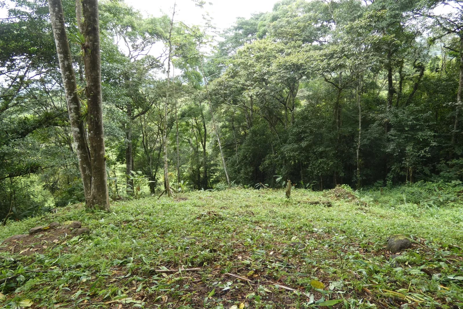 Cleared build site
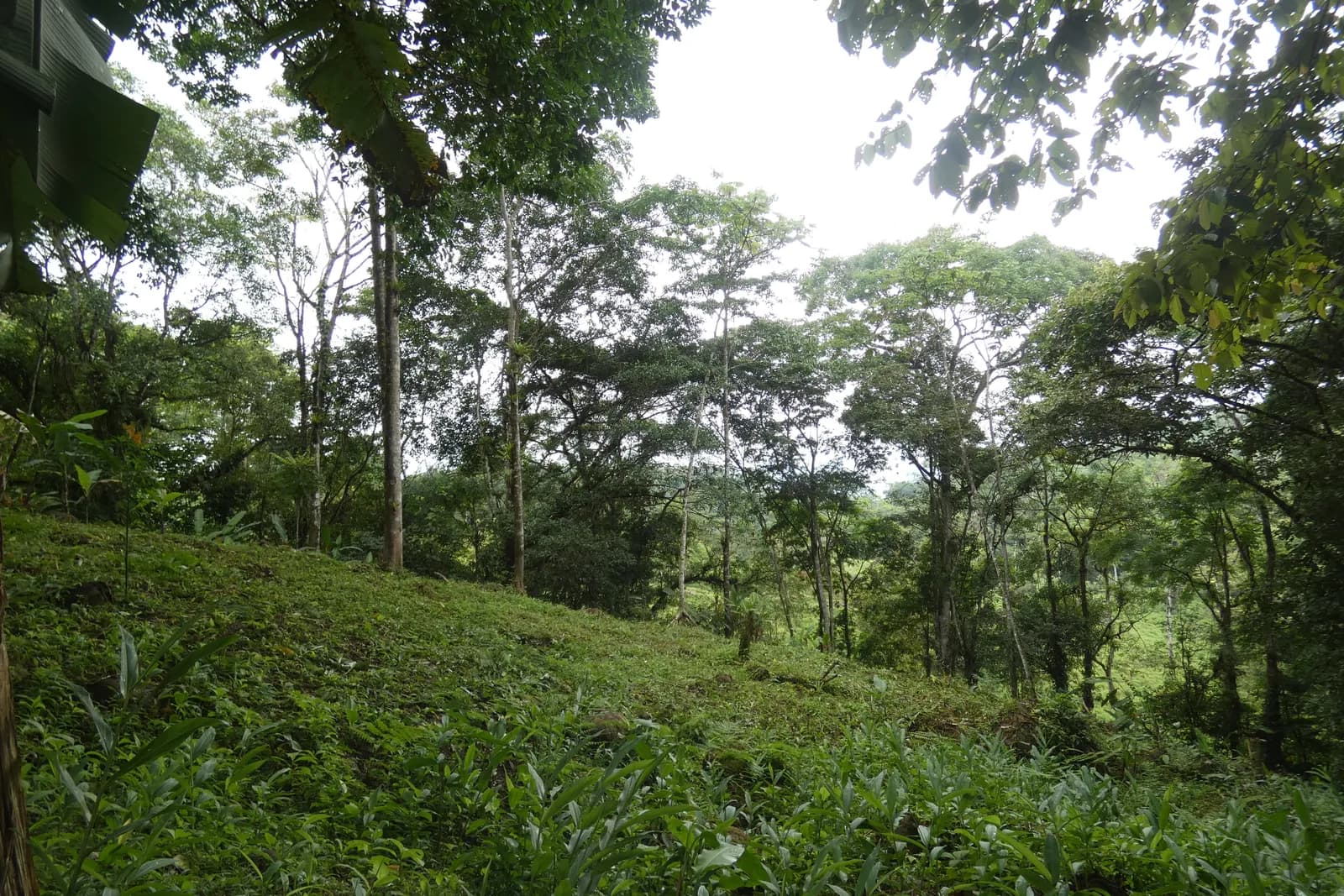 Hillside clearingThe clearing
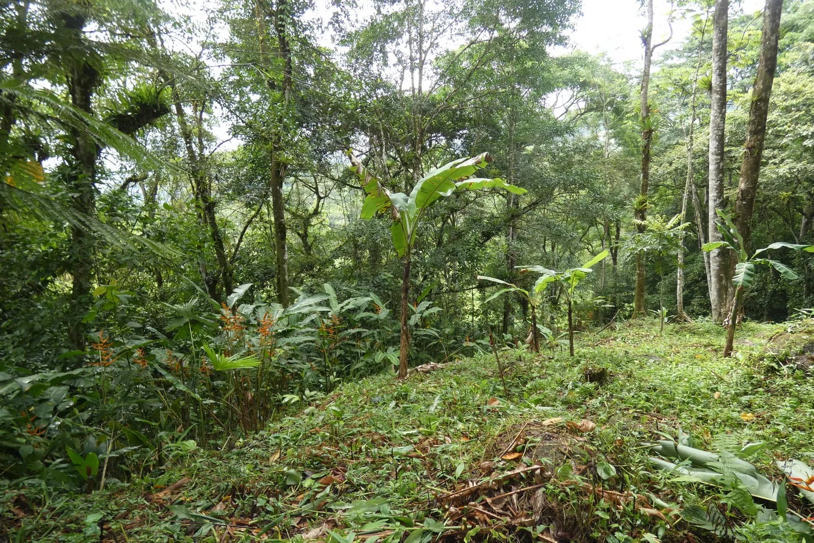 Jungle's edge
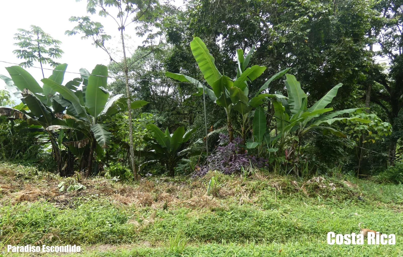 Paradiso escondido
The same highland forest as the neighbouring parcels — its birds and butterflies photographed across this land.
Not a stock library — every photograph below was taken on this land. These are the residents the owner has met on the property.
Fiery-billed Araçari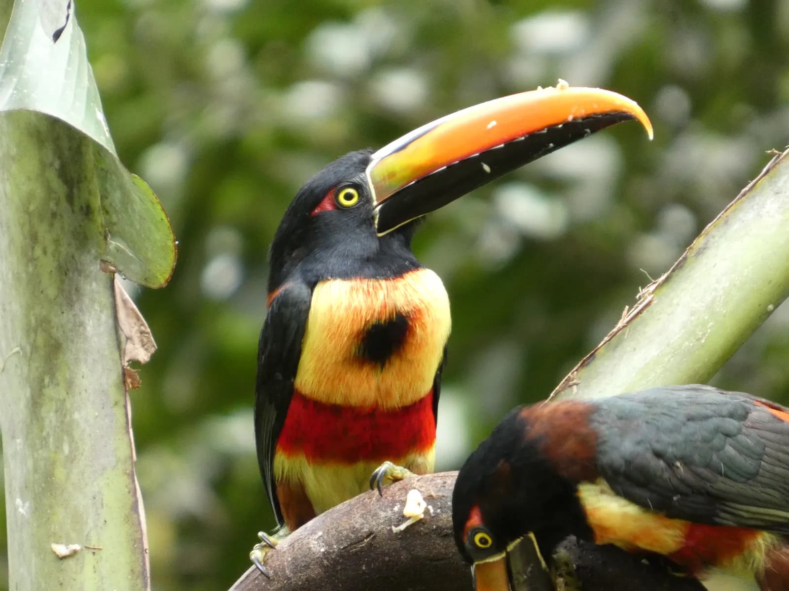 Fiery-billed Araçari
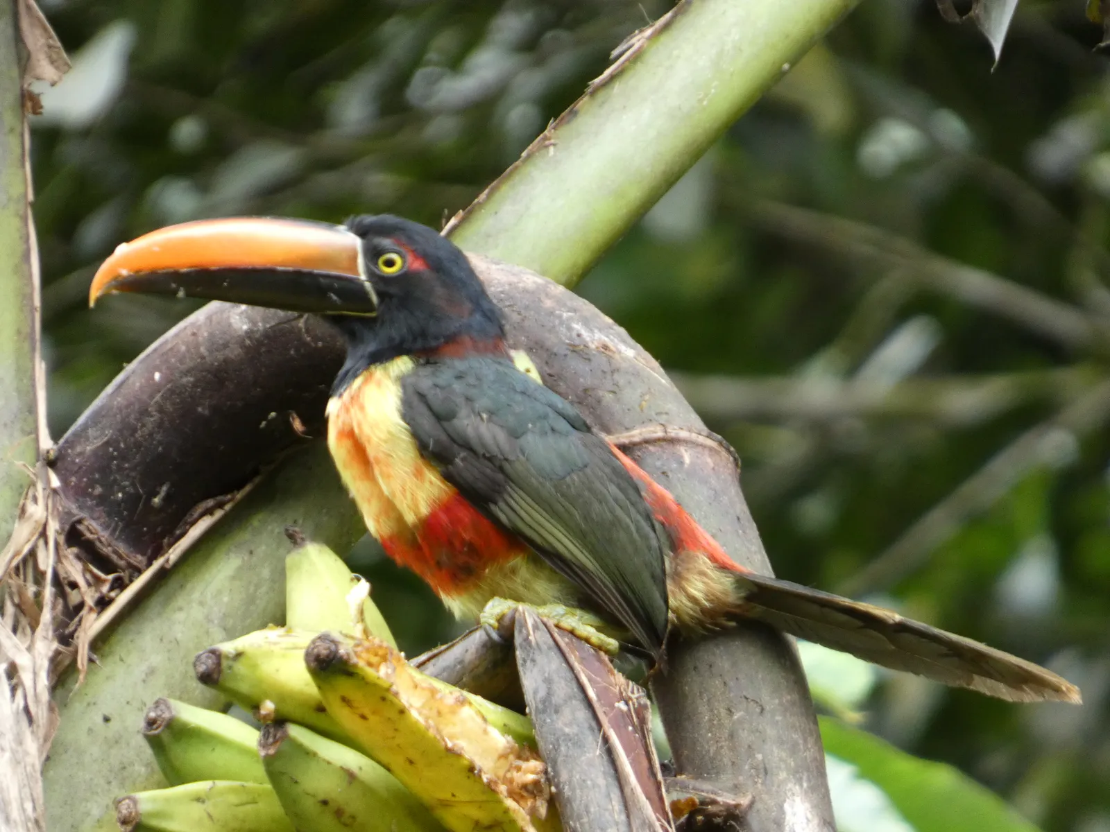 Fiery-billed Araçari
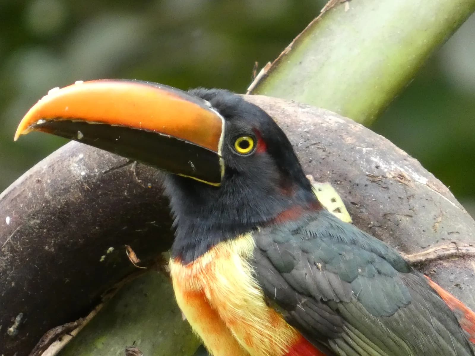 Fiery-billed Araçari
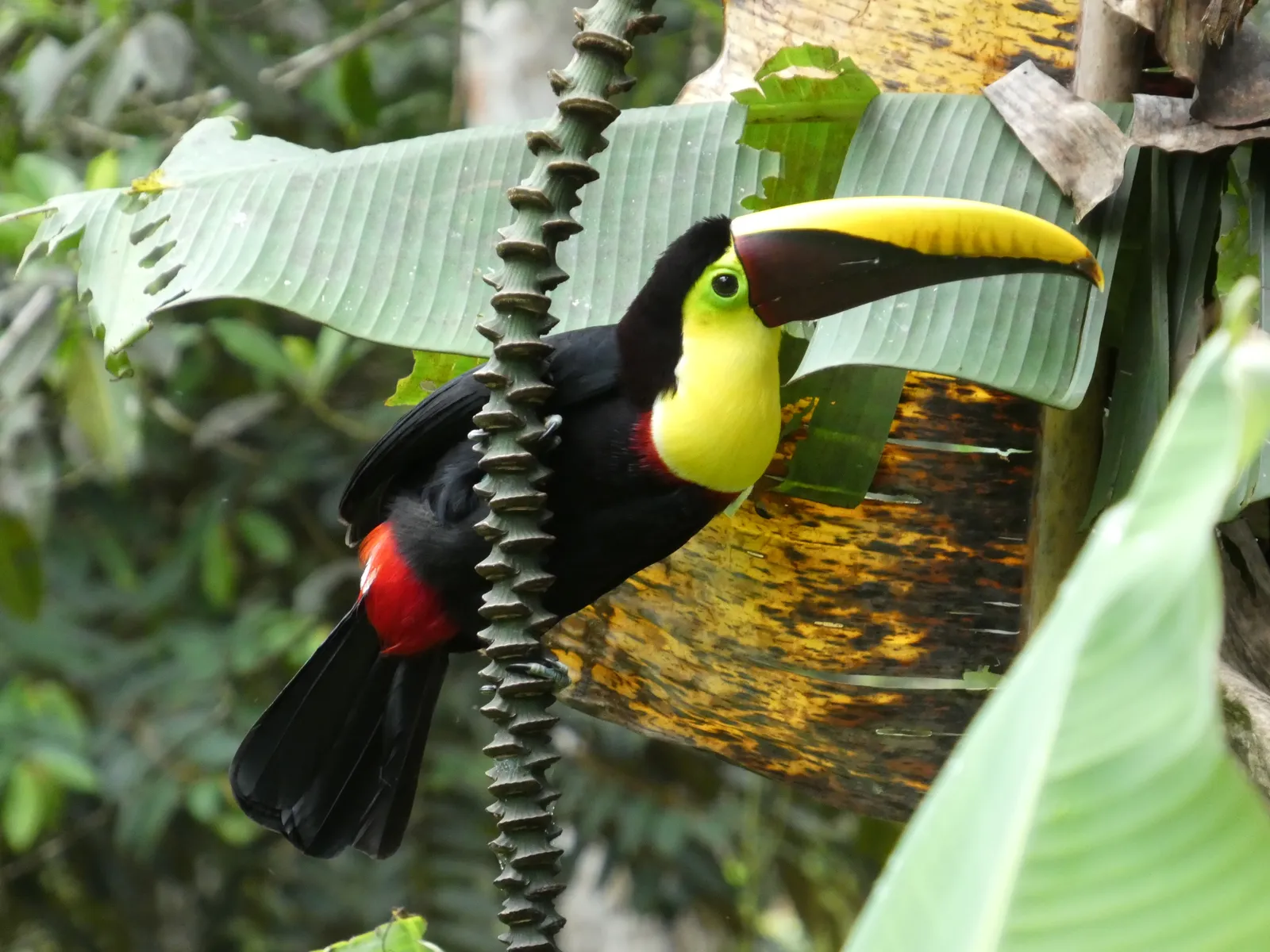 Toucan
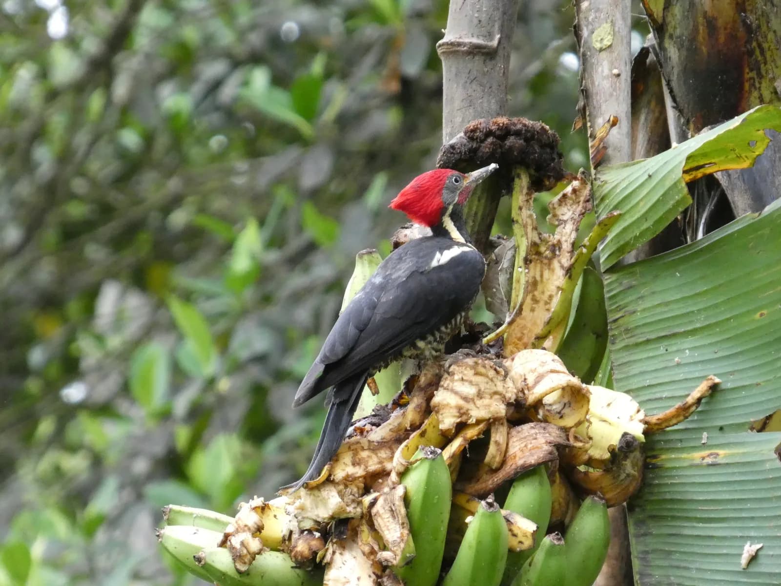 Woodpecker
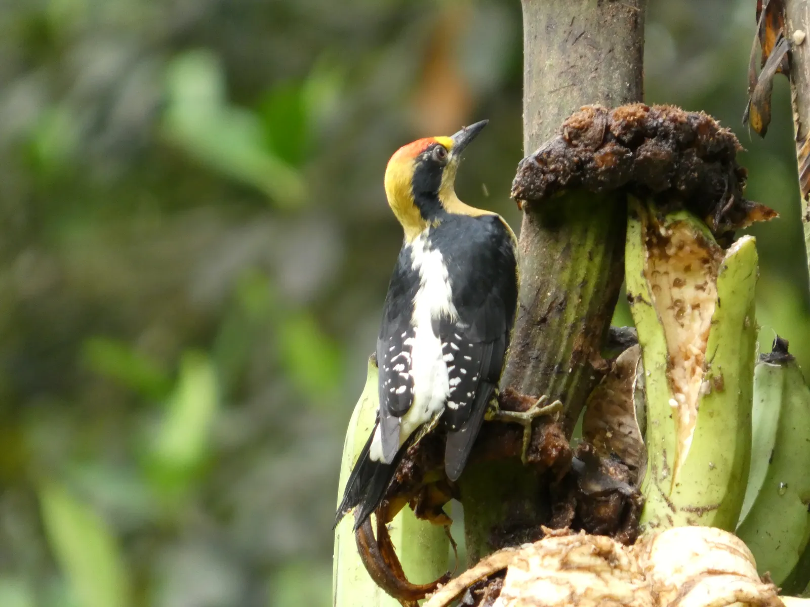 Woodpecker
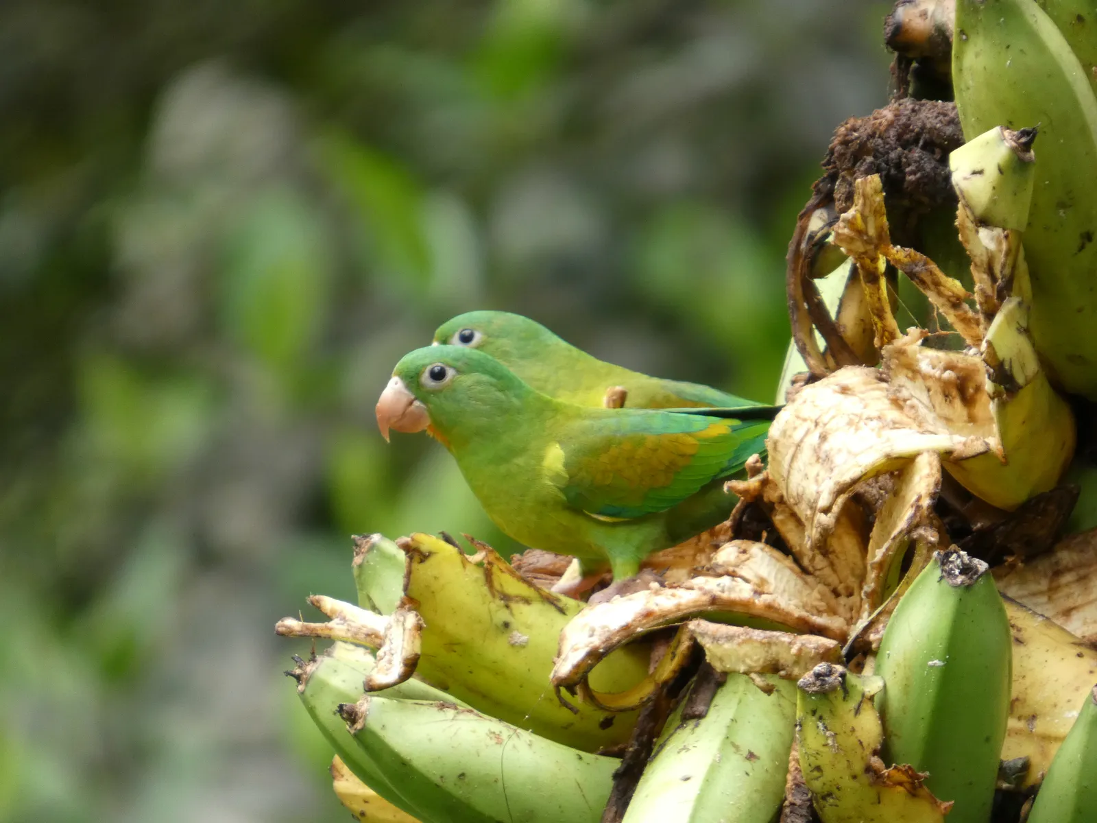 Parakeets
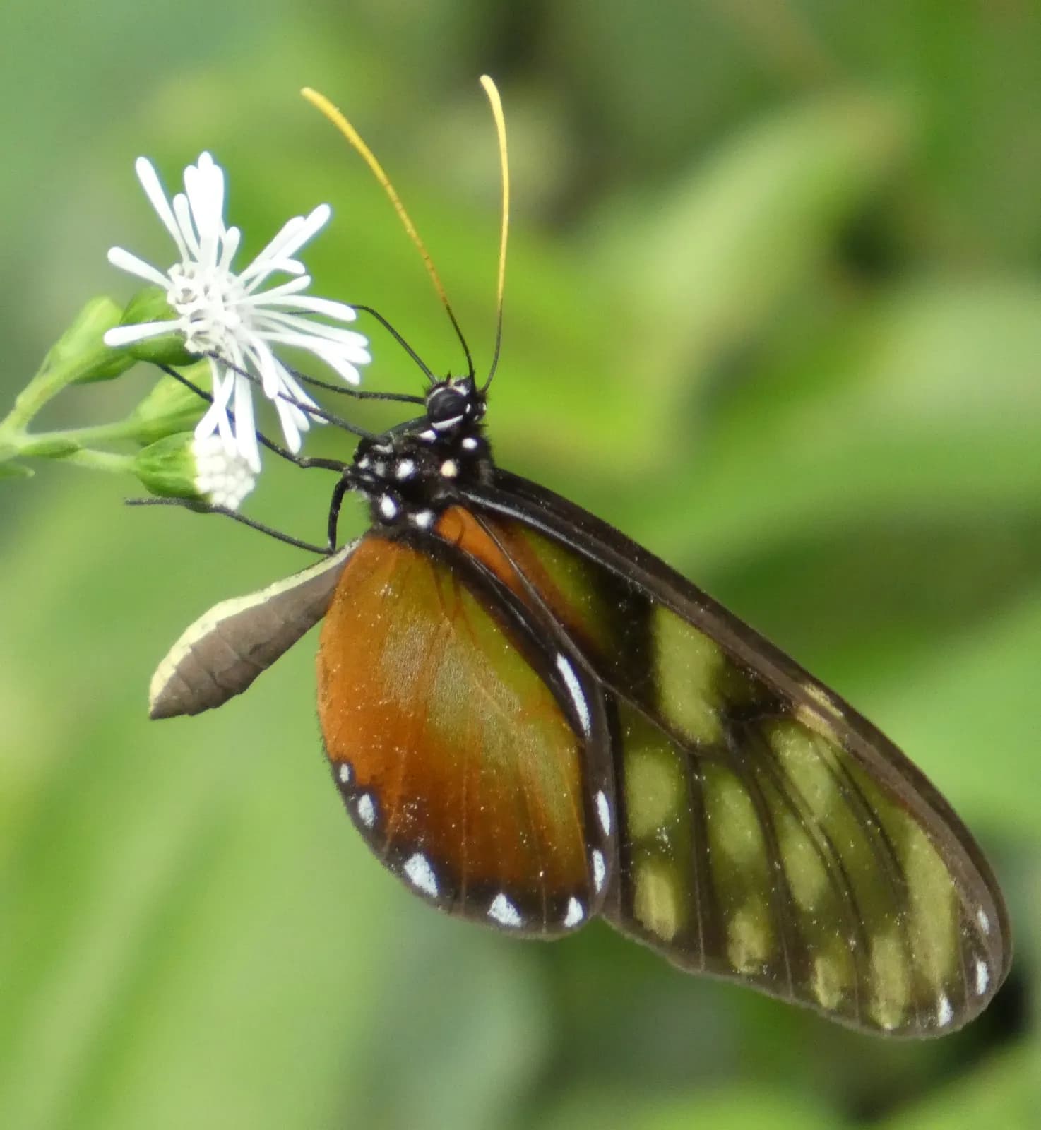 Butterfly
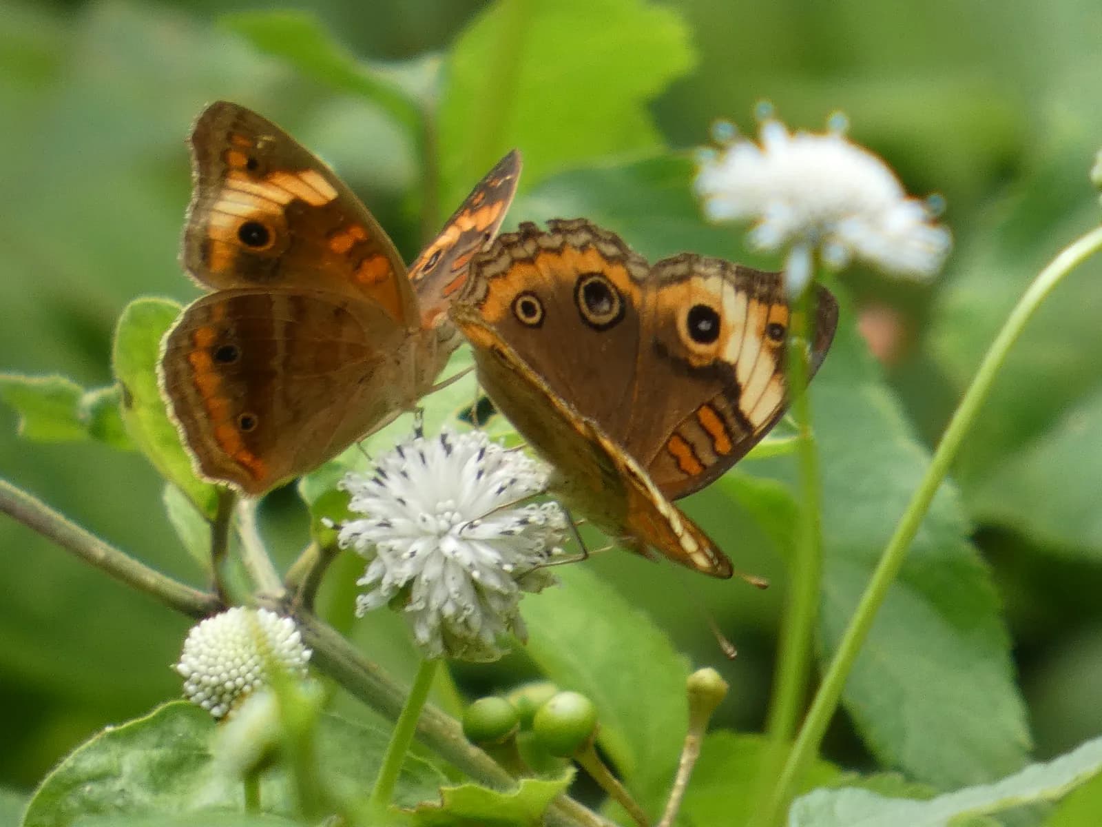 Butterfly
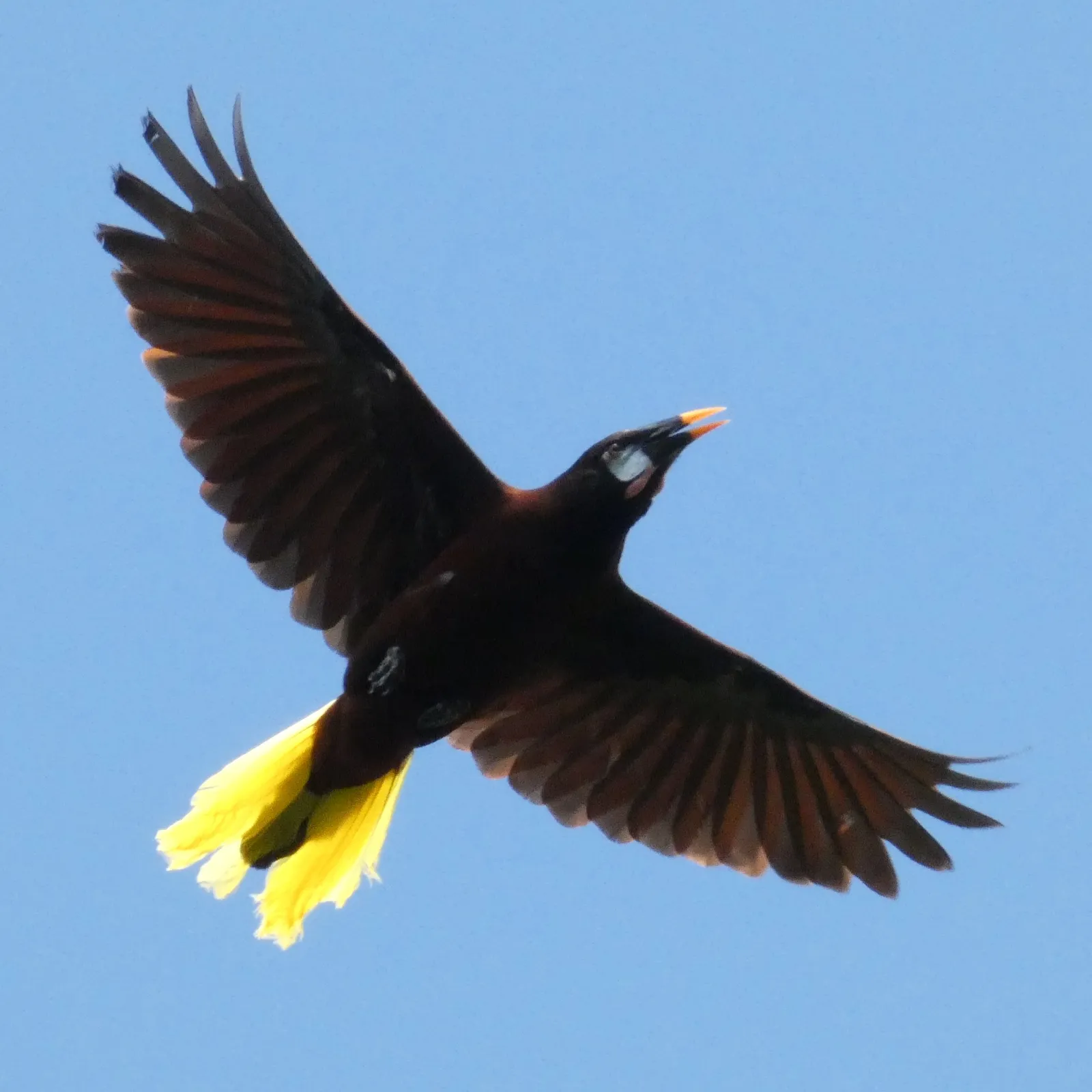 Montezuma Oropendola
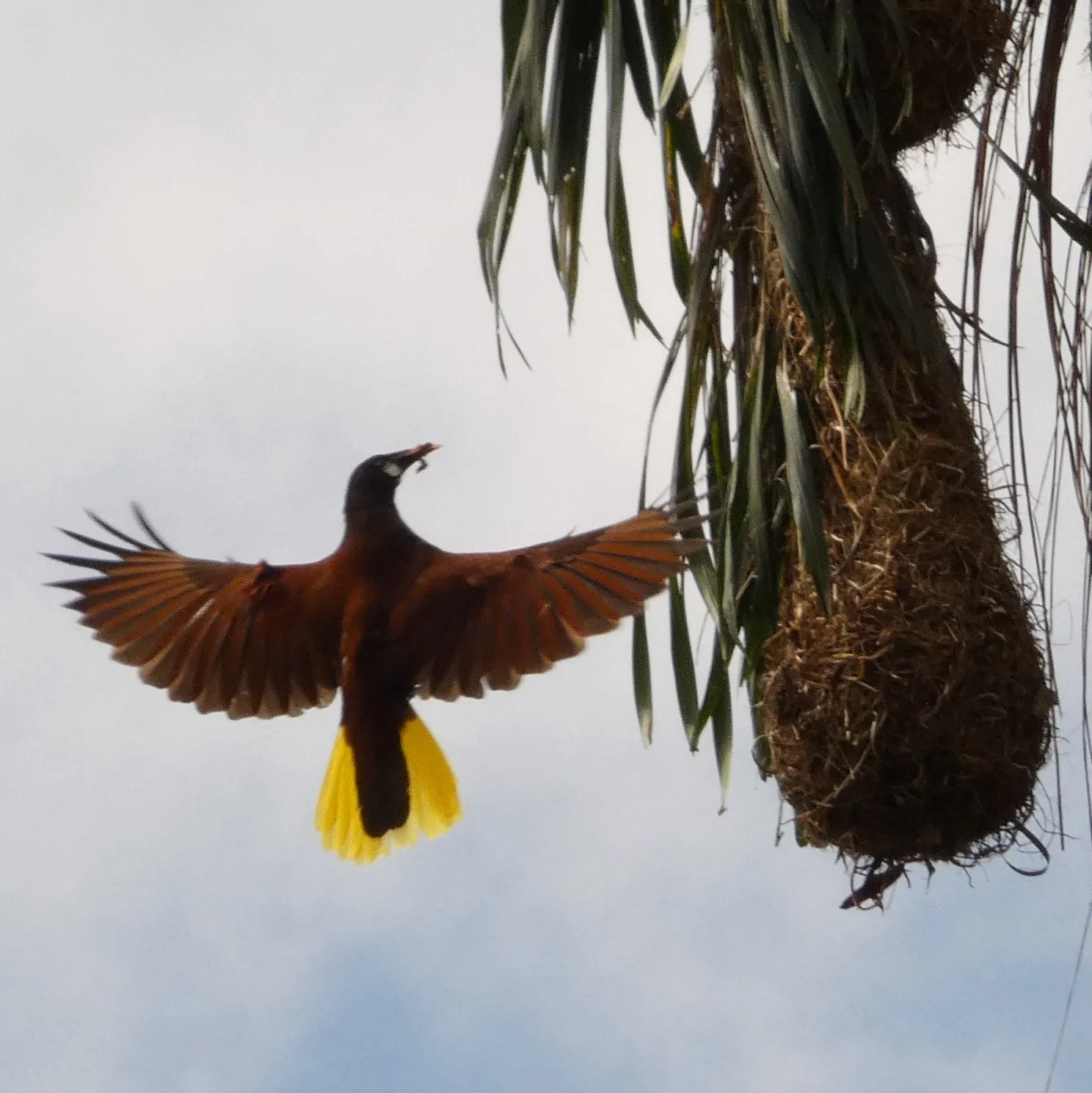 Montezuma Oropendola
Registered water concession. A registered 3-meter right-of-way (servidumbre) leads to the quebrada, which traces the neighboring boundary along the protected mother farm.
Fruit already established nearby in the same growing band — an easy start for a food forest.
A large, wary canopy bird — its presence is a sign of healthy, undisturbed forest.
A small, brilliant toucan found only in this corner of Costa Rica and western Panama.
Seen working the canopy and forest edge through the day.
A resident parrot of the highland forest, often heard before it is seen.
Its hanging woven nests and liquid, bubbling call are unmistakable.
A ground-dweller of the damp forest floor and stream edges.
Jewel-toned canopy birds — present and seen, not yet identified to species.
Resident flocks moving through the canopy and clearings.
Bright mixed-feeding flocks working the forest edge.
A constant presence in the clearings and along the forest margins.
The weekly farmers market — about ten minutes out on dirt roads — the supply and social heart of the highlands.
Recorded on this land by ear and eye across the seasons — owls after dark, antbirds in the understory, oropendolas overhead. The photographs above are the subset caught on camera; the full record runs longer.
Large, slow-breeding, and hunted out of most accessible forest in Costa Rica — finding it here is a real indicator of intact habitat.
A bird that wants water. Where it lives, water is close — quiet corroboration of what this land carries.
Recorded means observed on the land — by sight or by call — not that each species was photographed here.
Highland Pérez Zeledón, above the Costa Ballena — about twenty-five minutes up from Dominical.
Private viewings and the full survey map on request.