Cedro forest
Cedrela odorataA mature stand of Spanish cedar — the forest the lot is named around, and the reason the air stays cool.
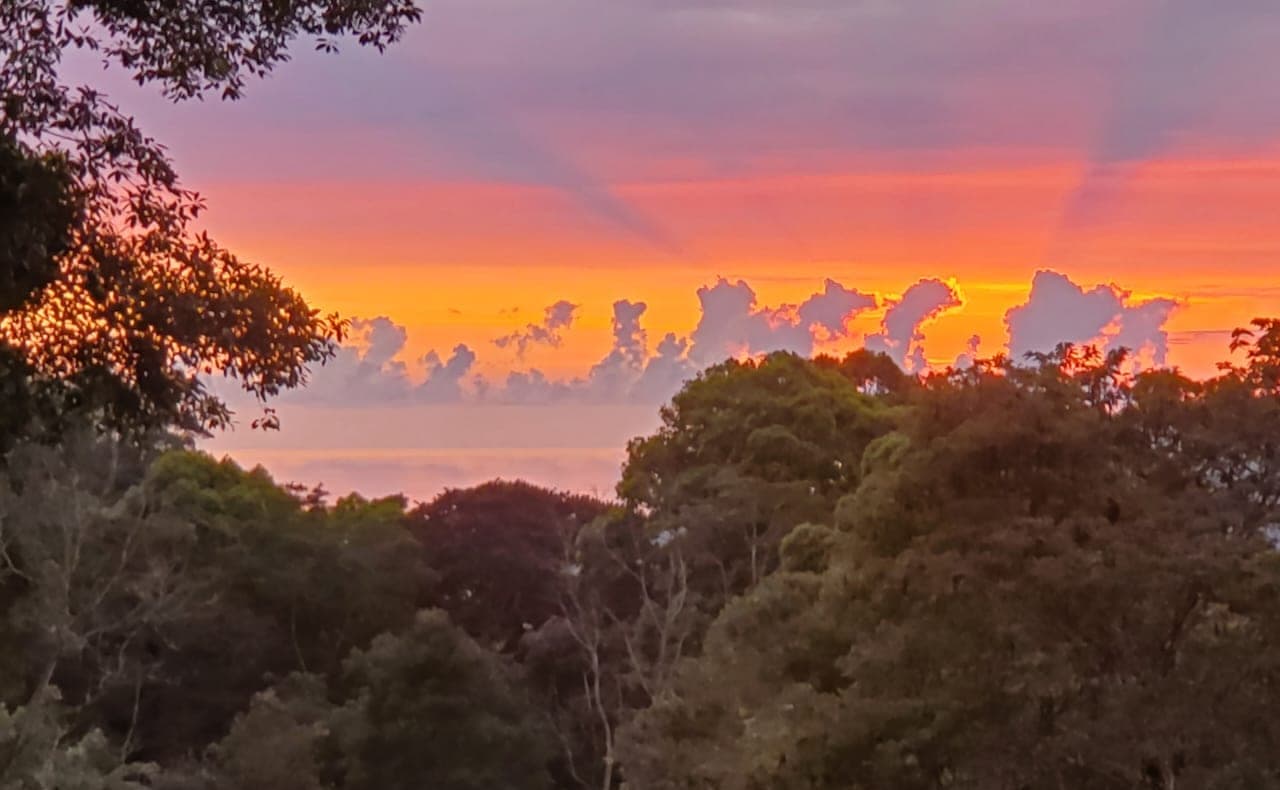
Rooted in the highlands. Open to the sea.
A highland parcel of just under one acre, set in mature cedro forest at roughly 700 metres — cool air, birdsong, and the quiet that only elevation gives you.
It sits about twenty-five minutes up from Dominical on the Costa Ballena coast. This is mountain land with the sea in the distance, not the shoreline itself — and all the better for it.
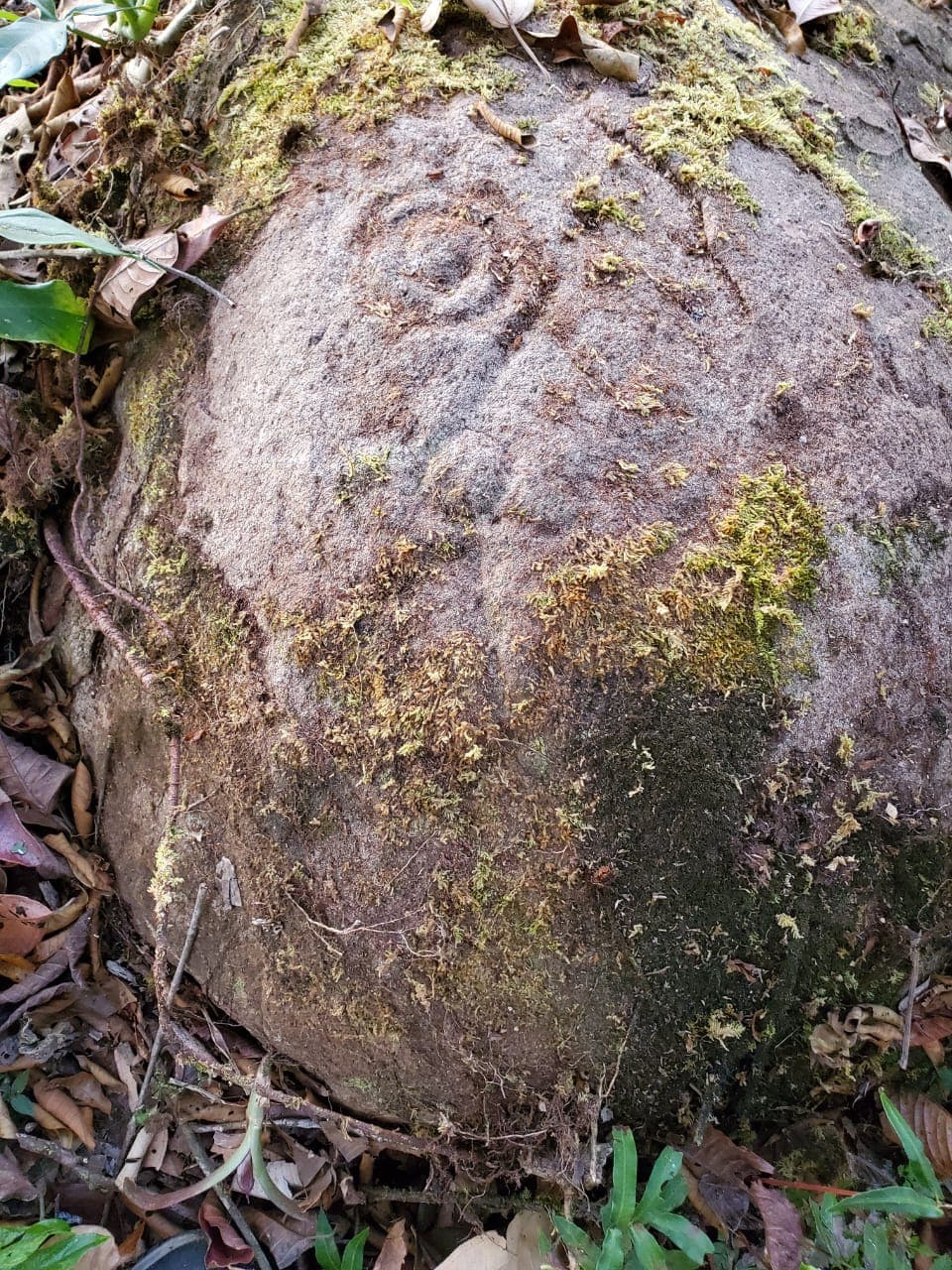
On a boulder set into the land, a pre-Columbian petroglyph spirals inward — the same curl the Pacific draws as the humpbacks pass the Whale Coast each season. It is the kind of thing you do not buy. You become its steward.
We made it the heart of this brand: ancient story, living coast, and the precision of how we map the ground beneath it.
A survey-grade polygon rebuilt from the property’s derrotero and anchored to GPS corners we walked on the line — laid over satellite imagery and terrain. Listing-grade, not a legal survey; the plano catastrado remains the legal document.
The live boundary map loads once a Mapbox token is configured (NEXT_PUBLIC_MAPBOX_TOKEN). The survey-grade boundary for Indian Rock · Lot 4 is built and ready.
Boundary reconstructed from the validated derrotero (area closes within ~1 cm) and georeferenced to field-captured GPS anchors. For position reference only — confirm against the registered plano.
The map above is pitched over real elevation data — you read the land the way it actually sits, ridge and fall, not a flat outline on a plat.
Highland air around 700 m: cooler nights, cloud-forest light, and the long view down toward the Costa Ballena.
Drone-flown slope, contour and water-flow mapping for this exact parcel is in preparation. Available on request as the highland sites become flyable.
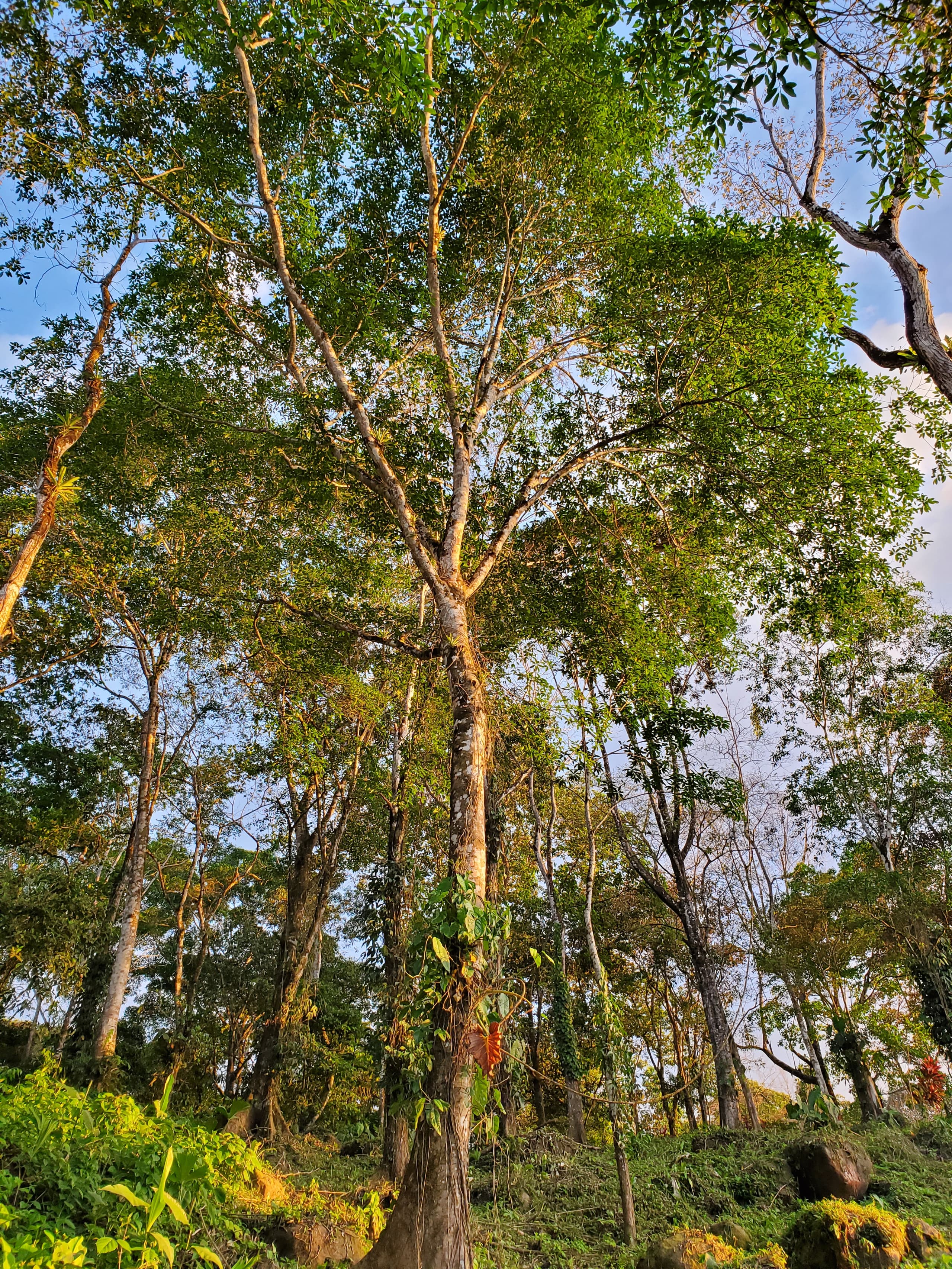 Cedar stand
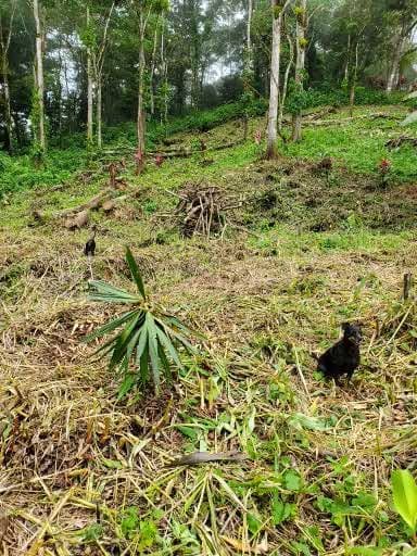 Building area
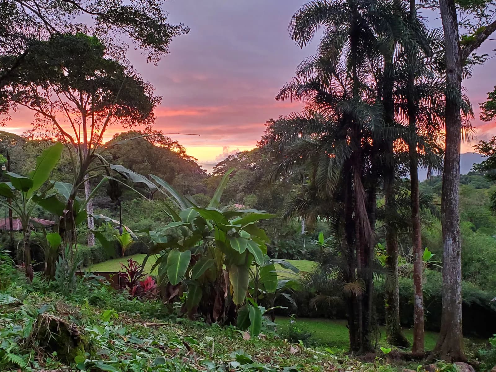 Lot overview
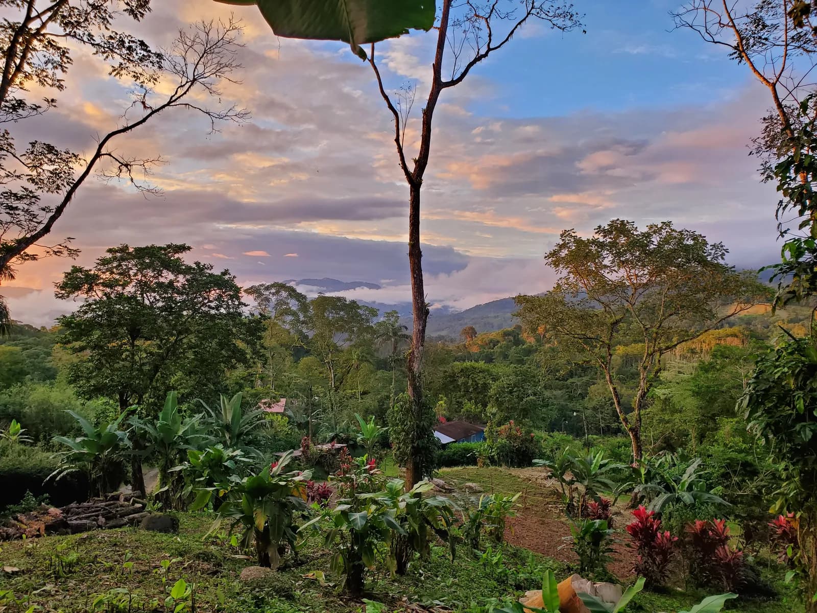 Looking north, dusk
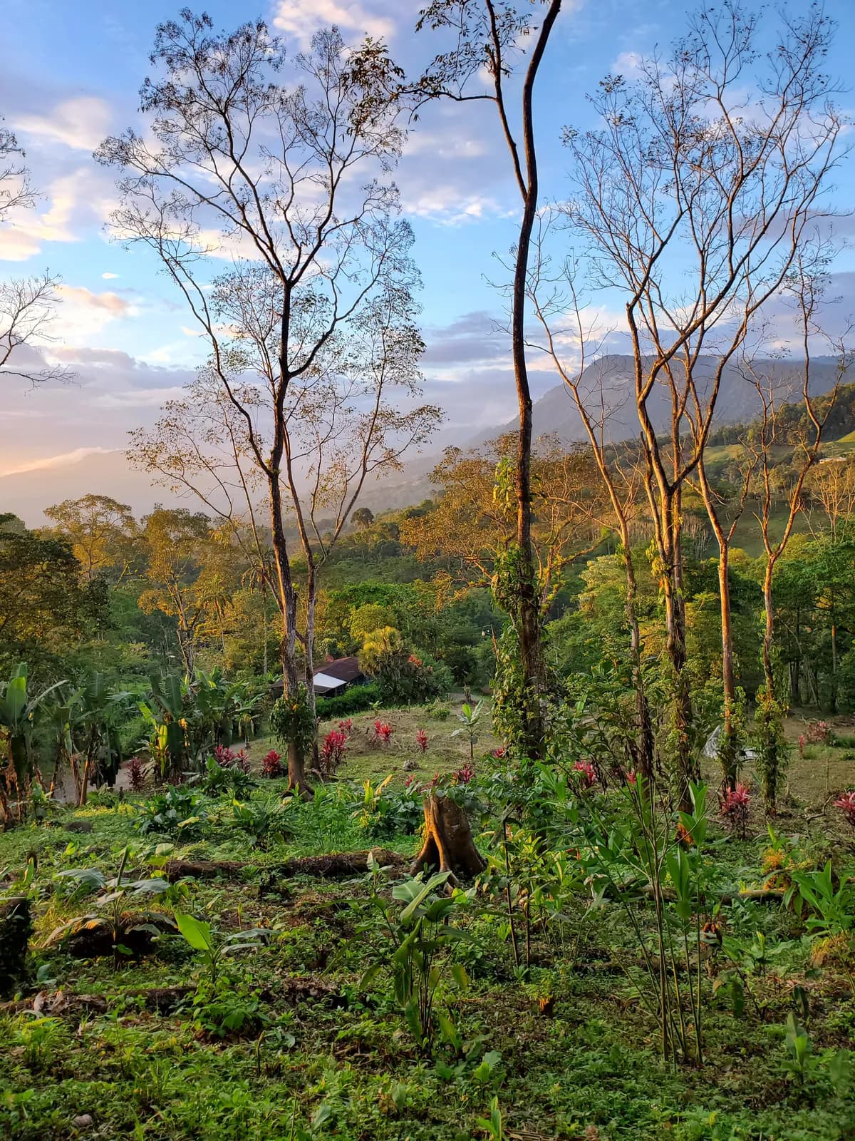 Mountain clouds at dusk
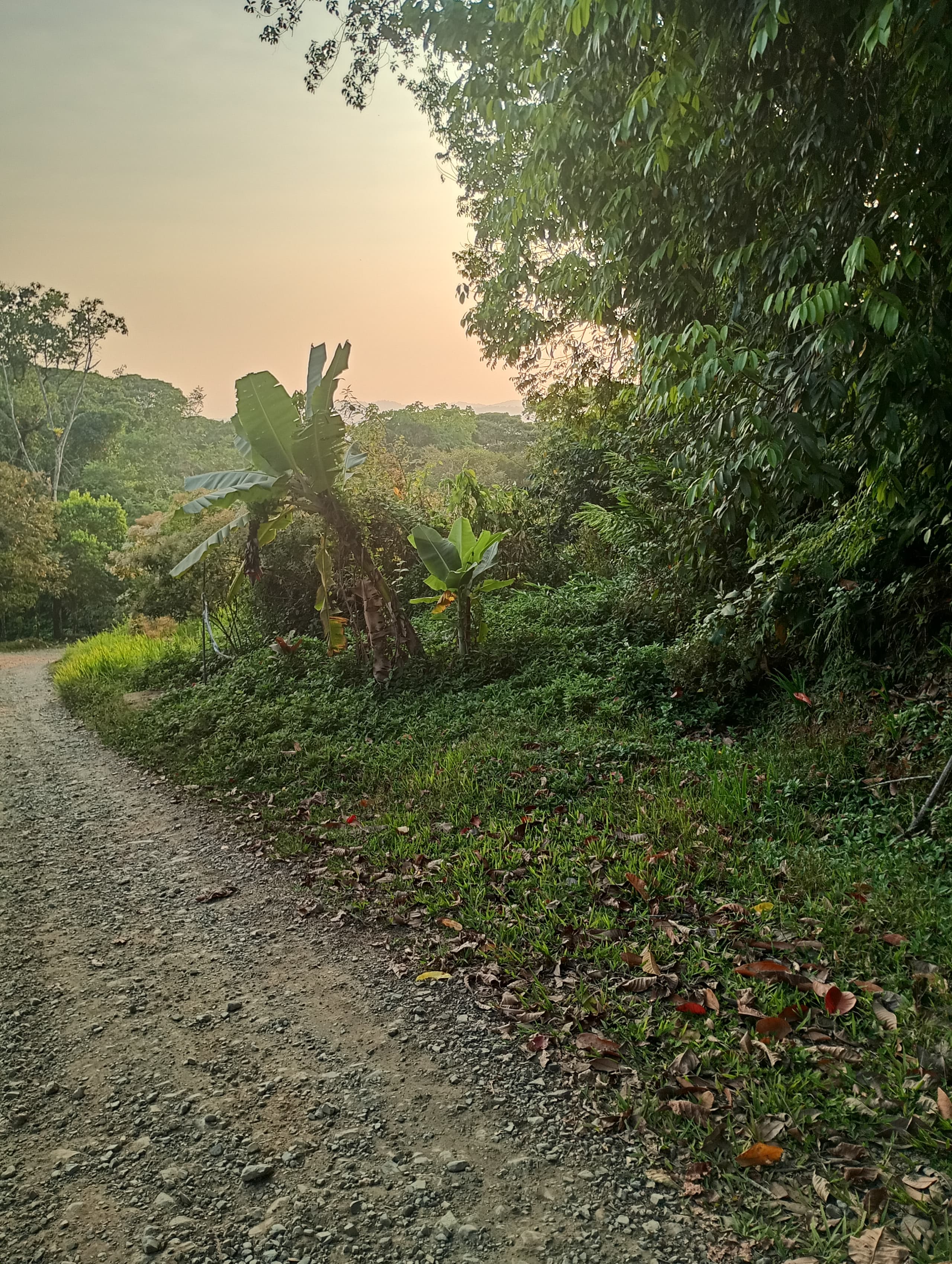 Road frontage
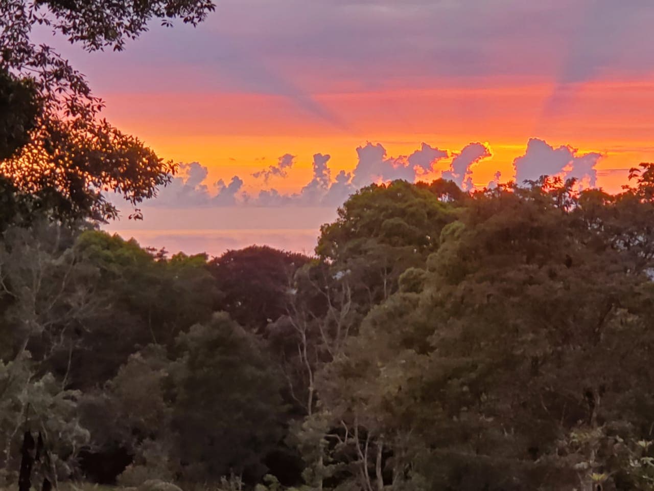 Ridge light
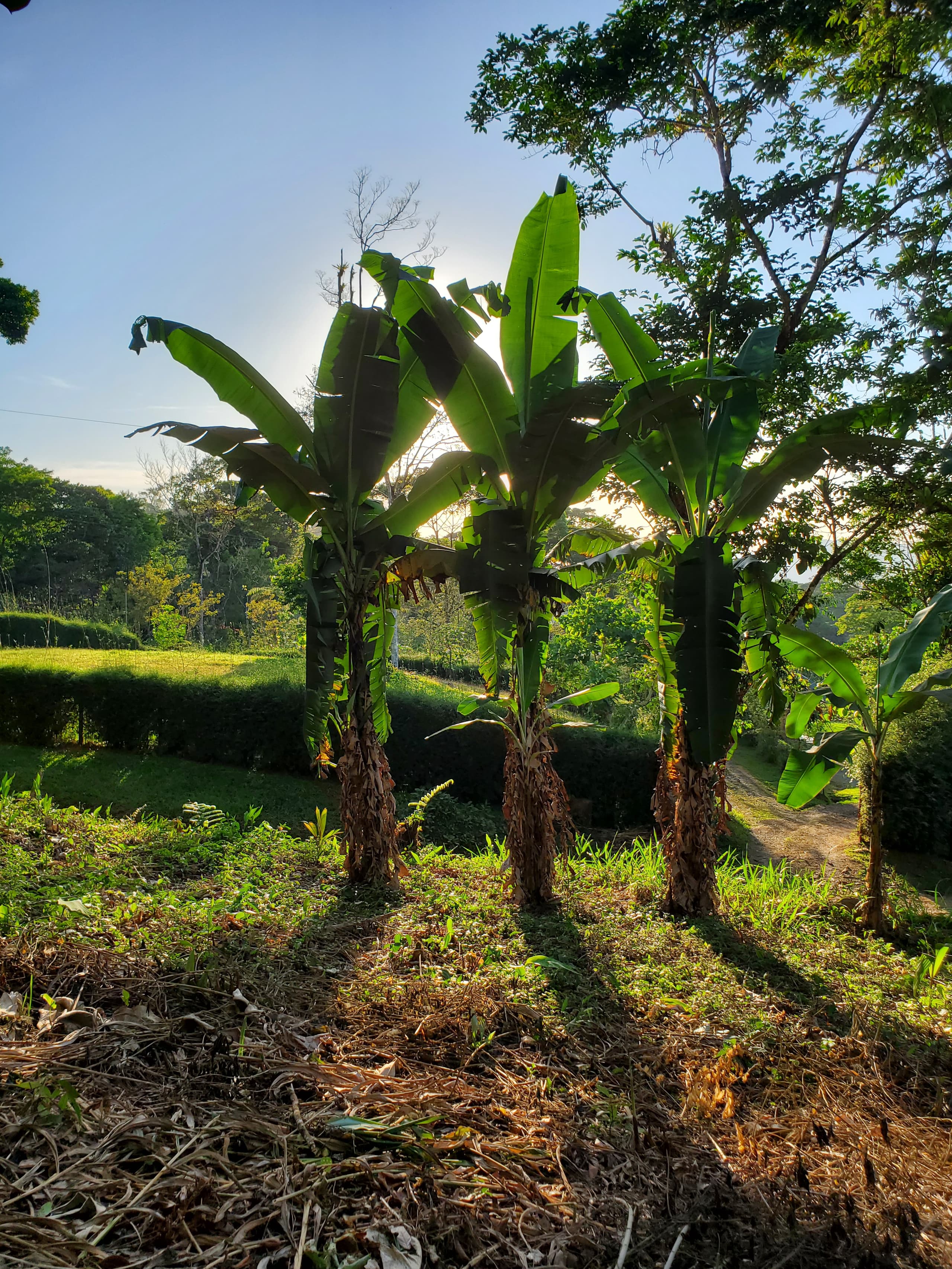 Plátano
Not a generic rainforest list — only what has actually been seen on this land: the forest it grows, and the birds and butterflies that live in it.
Not a stock library — every photograph below was taken on this land. These are the residents the owner has met on the property.
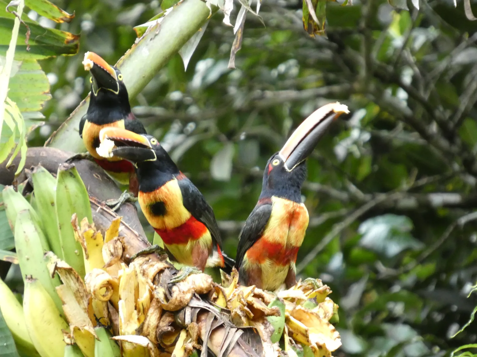 Fiery-billed Araçari
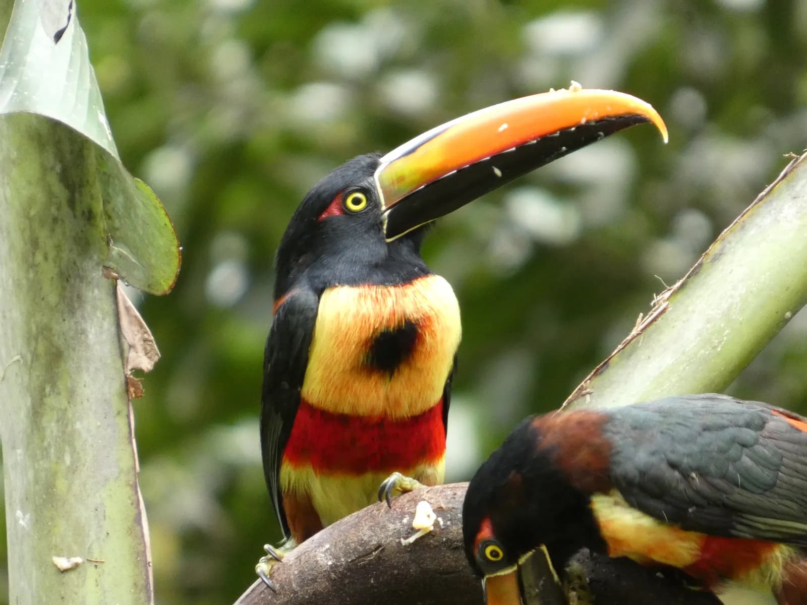 Fiery-billed Araçari
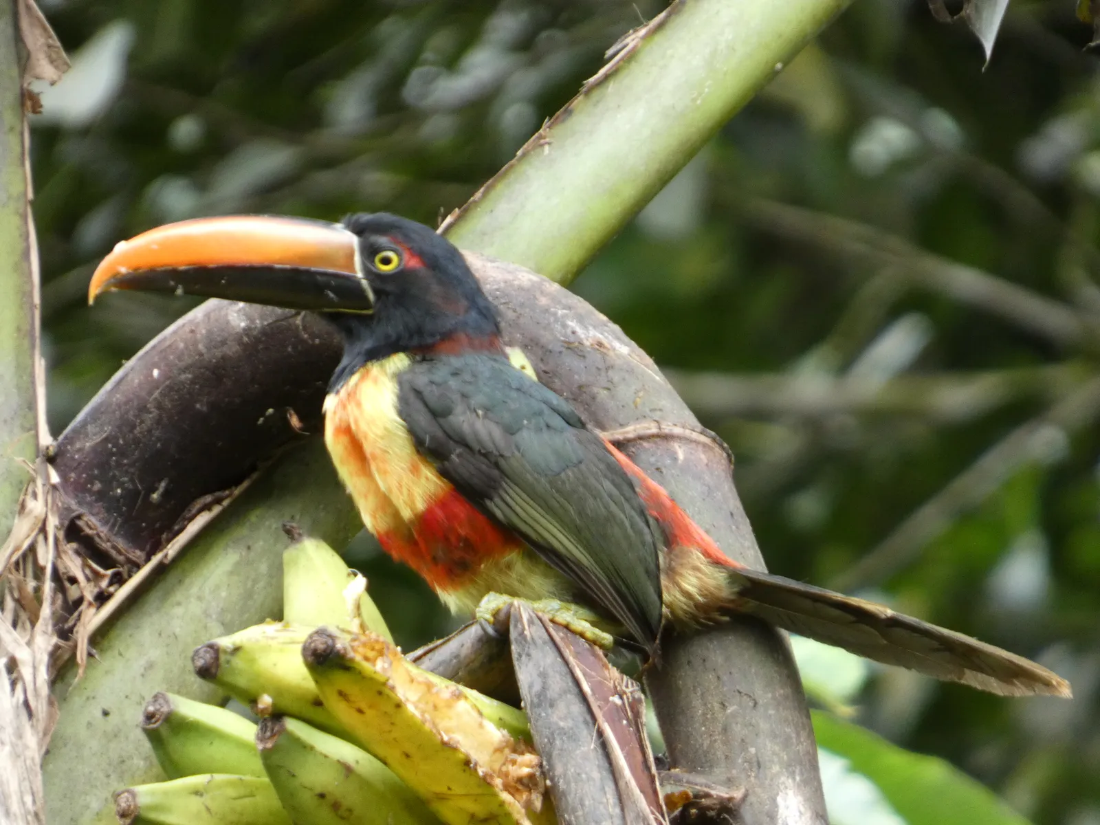 Fiery-billed Araçari
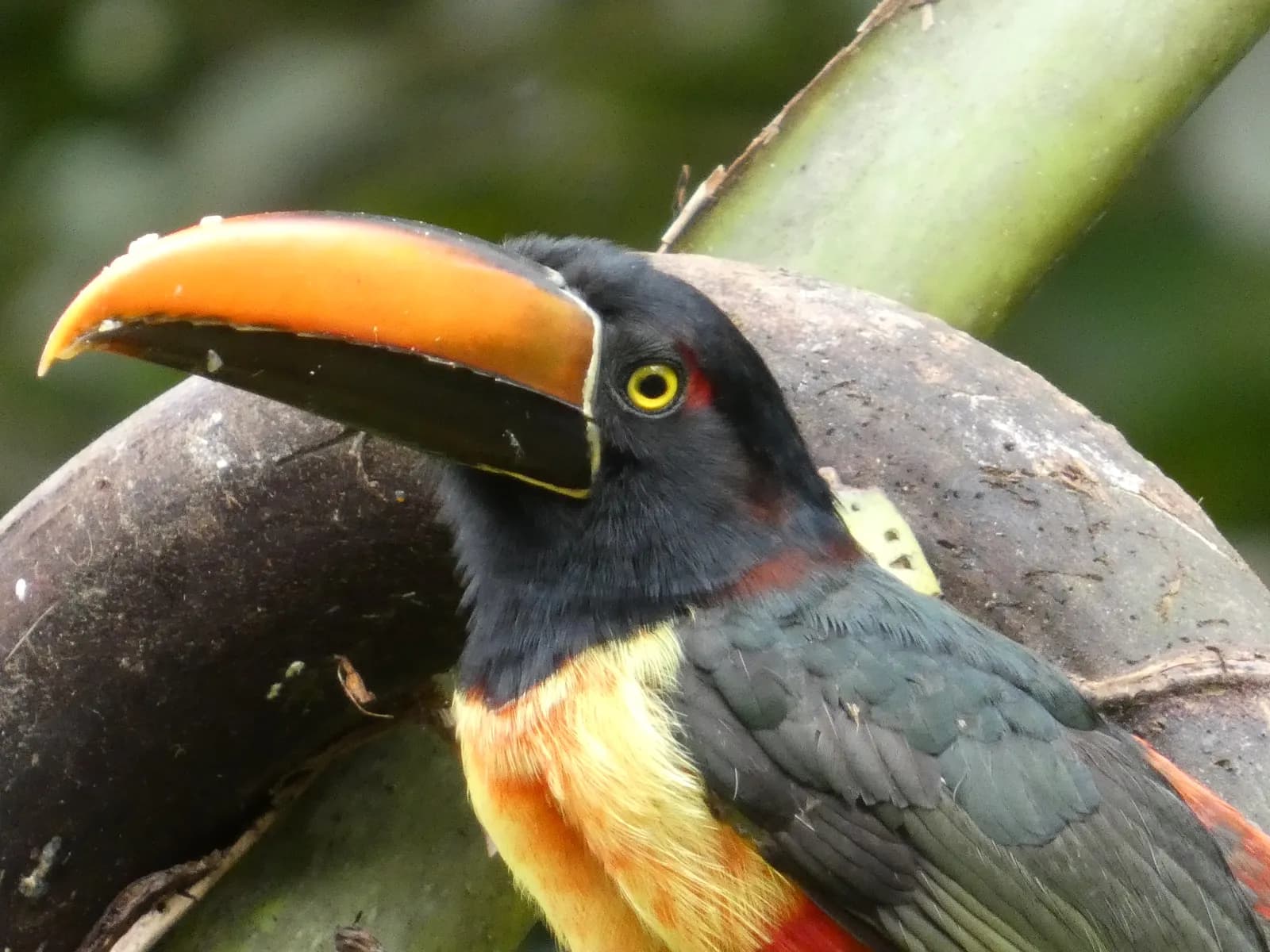 Fiery-billed Araçari
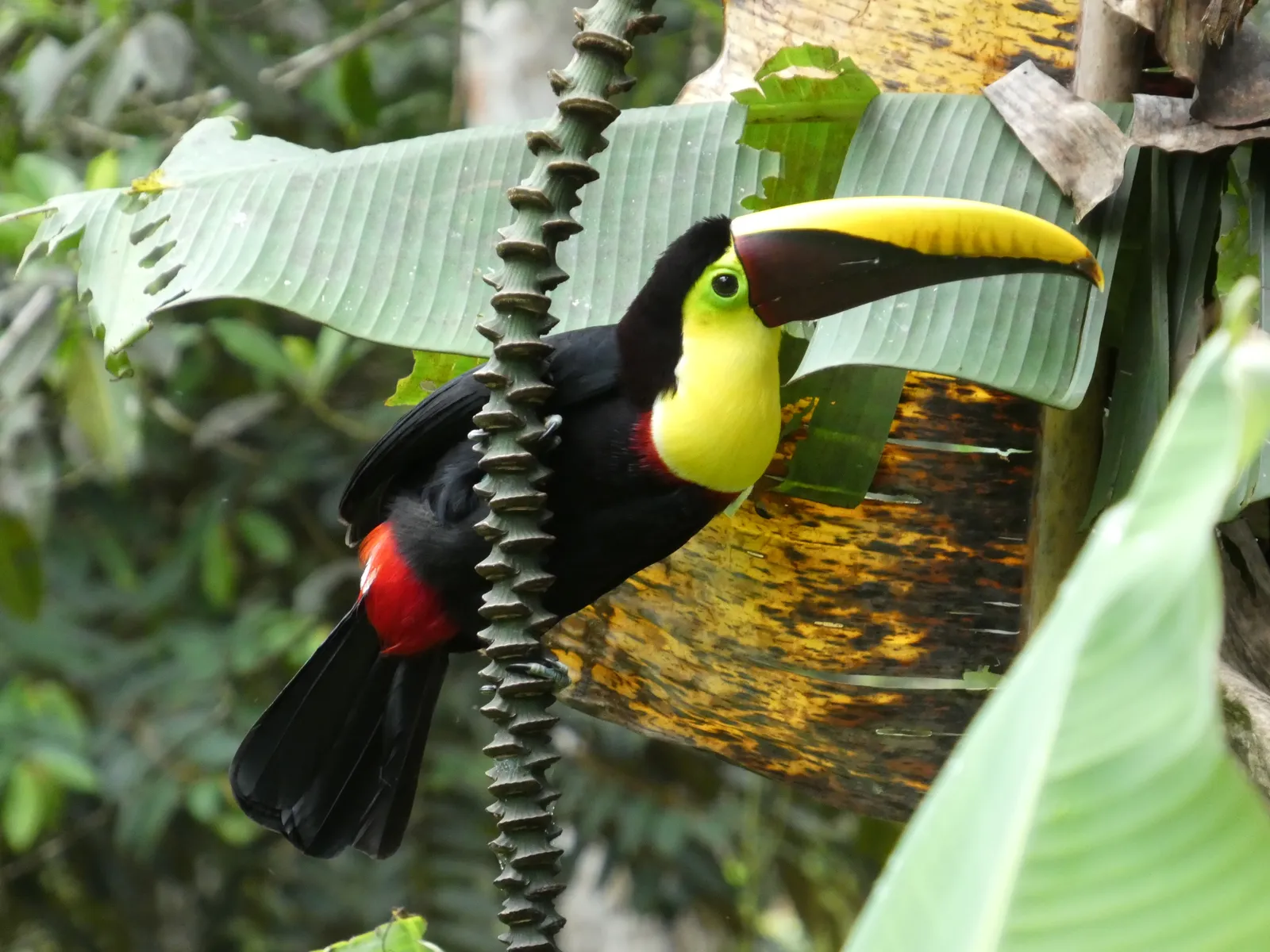 Toucan
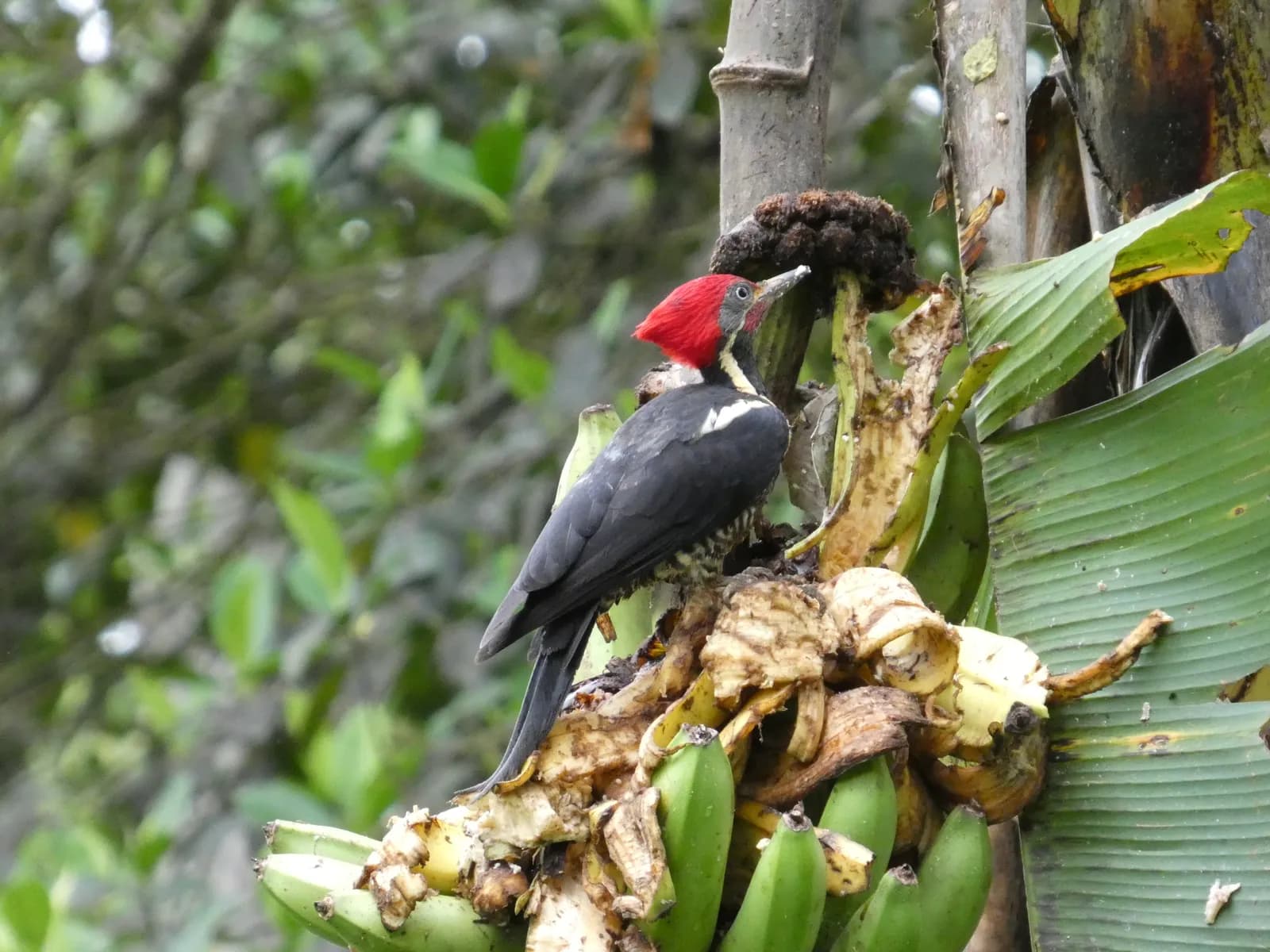 Woodpecker
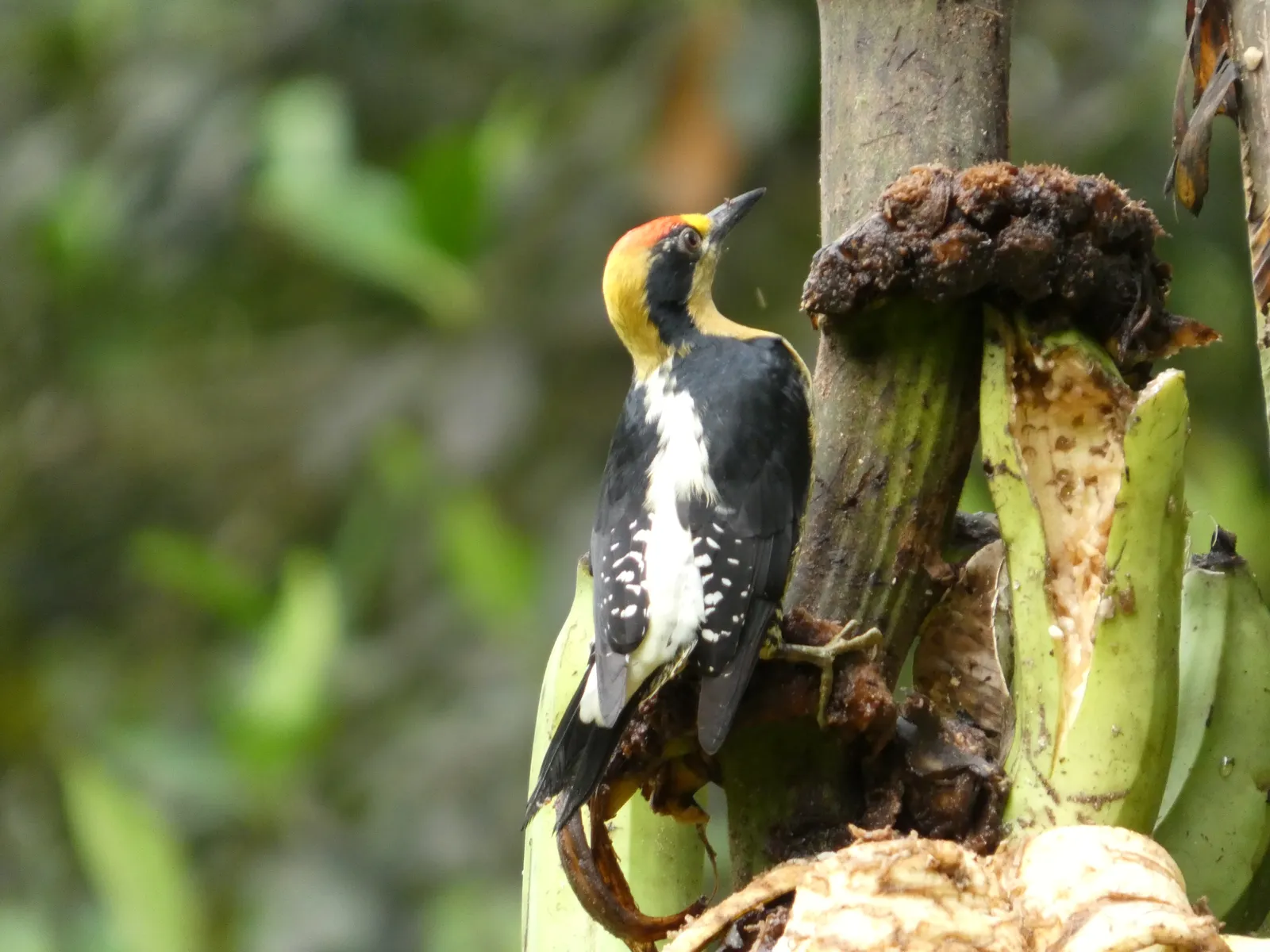 Woodpecker
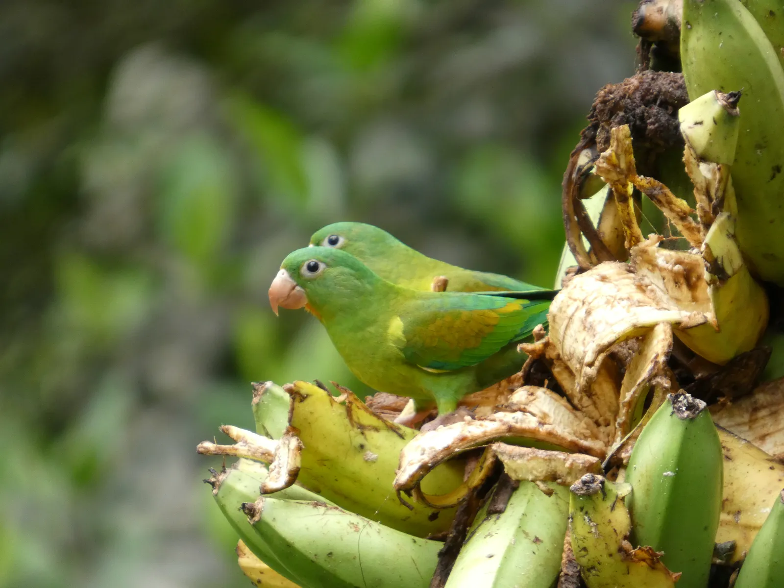 Parakeets
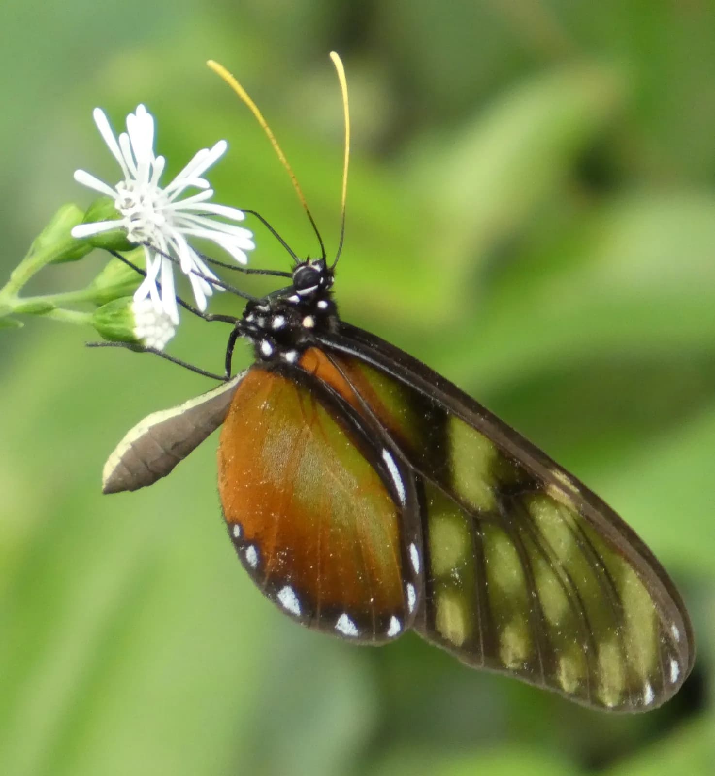 Butterfly
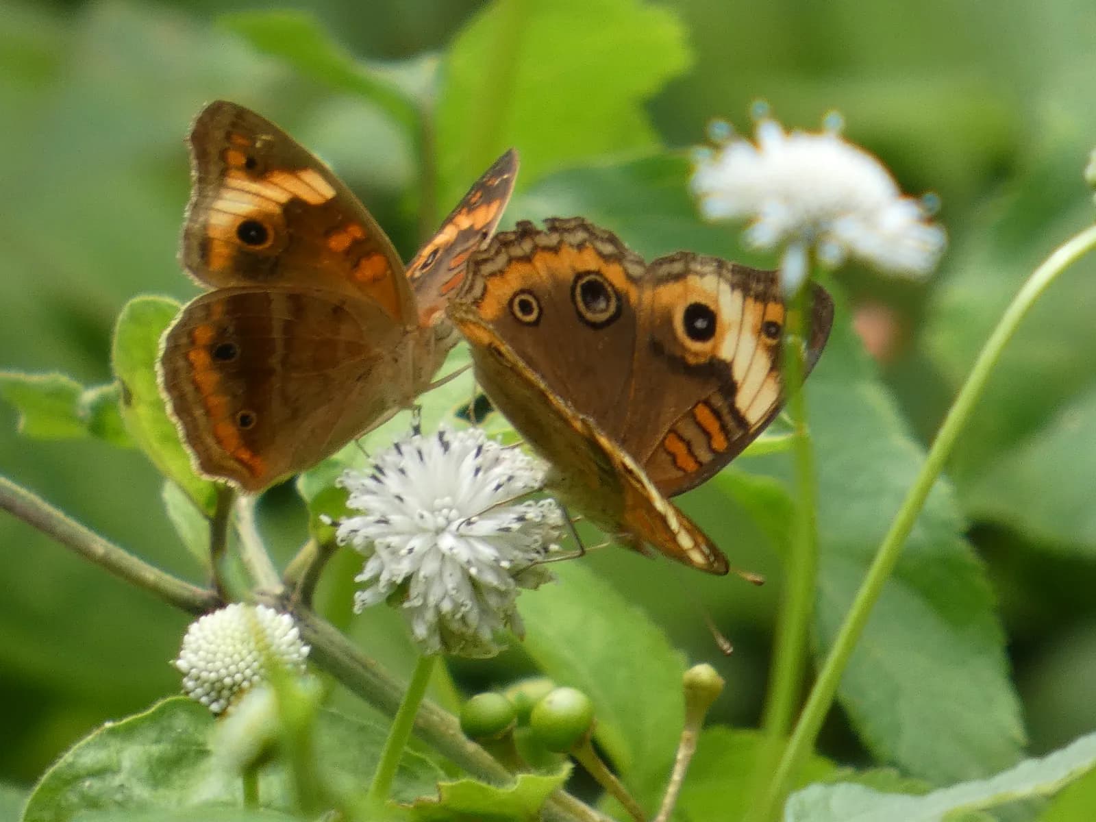 Butterfly
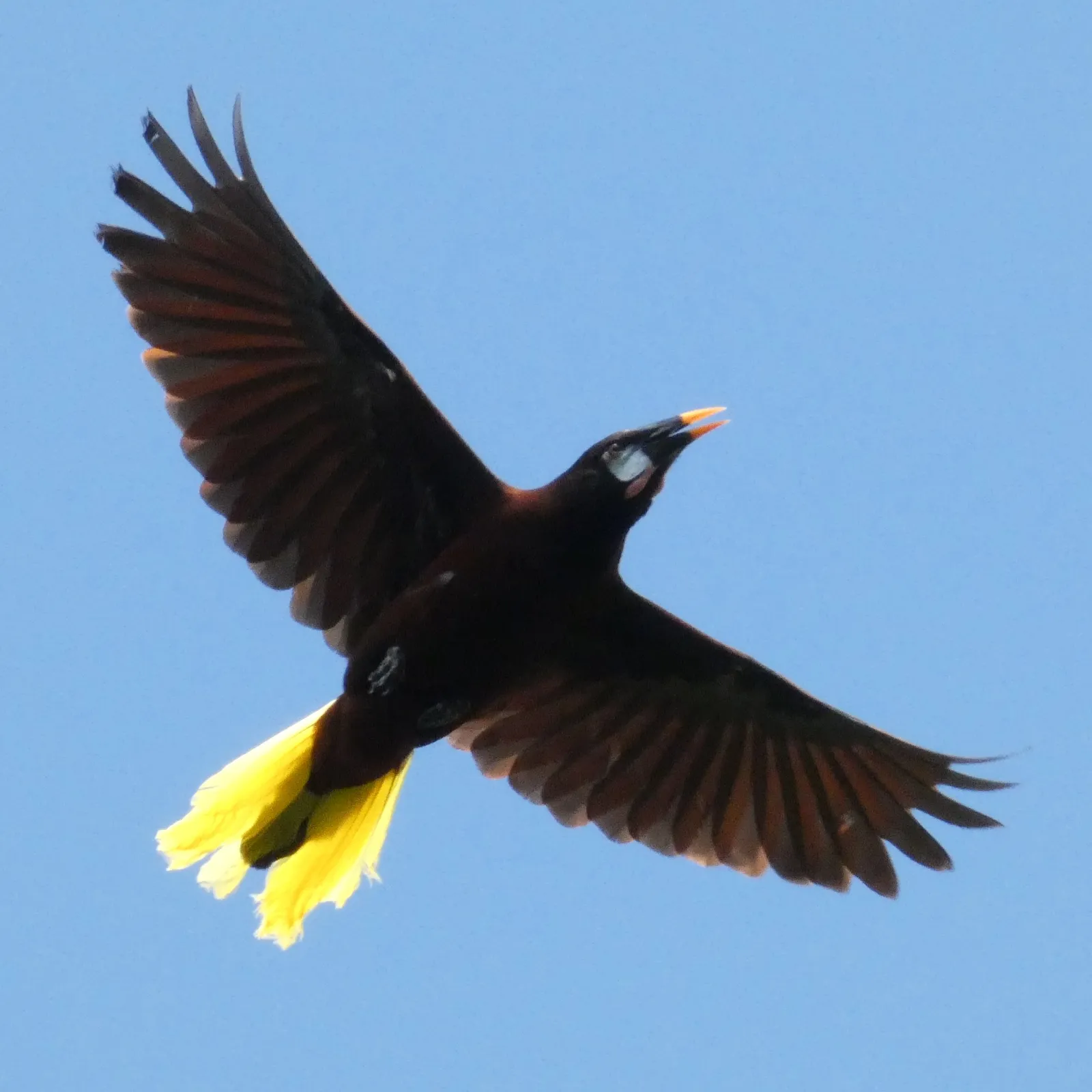 Montezuma Oropendola
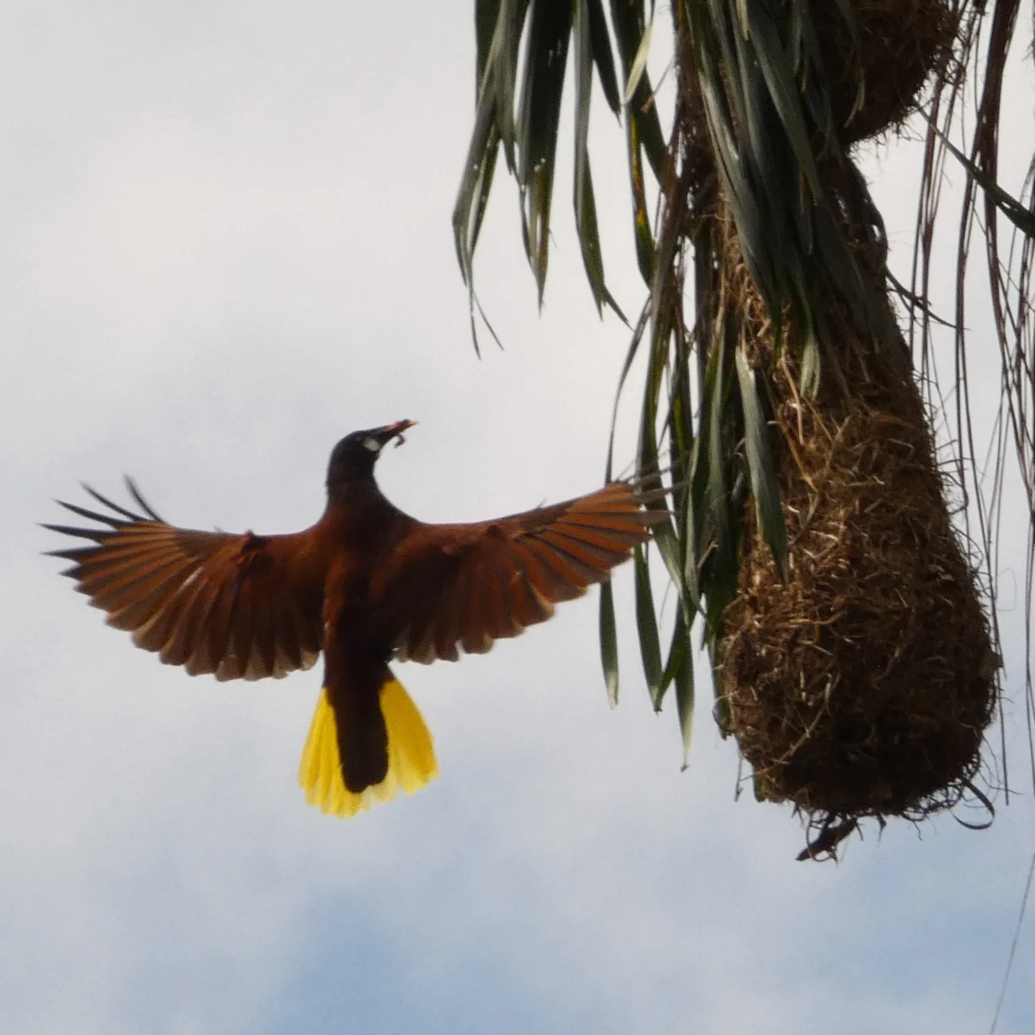 Montezuma Oropendola
A mature stand of Spanish cedar — the forest the lot is named around, and the reason the air stays cool.
Established fruit already growing on the land — the first of a steward’s food forest.
A large, wary canopy bird — its presence is a sign of healthy, undisturbed forest.
A small, brilliant toucan found only in this corner of Costa Rica and western Panama.
Seen working the canopy and forest edge through the day.
A resident parrot of the highland forest, often heard before it is seen.
Its hanging woven nests and liquid, bubbling call are unmistakable.
A ground-dweller of the damp forest floor and stream edges.
Jewel-toned canopy birds — present and seen, not yet identified to species.
Resident flocks moving through the canopy and clearings.
Bright mixed-feeding flocks working the forest edge.
A constant presence in the clearings and along the forest margins.
Water on Lot 4 is held under a registered concession — documented, not a verbal arrangement.
The weekly farmers market — about ten minutes out on dirt roads — is the social and supply heart of these highlands.
Recorded on this land by ear and eye across the seasons — owls after dark, antbirds in the understory, oropendolas overhead. The photographs above are the subset caught on camera; the full record runs longer.
Large, slow-breeding, and hunted out of most accessible forest in Costa Rica — finding it here is a real indicator of intact habitat.
A bird that wants water. Where it lives, water is close — quiet corroboration of what this land carries.
Recorded means observed on the land — by sight or by call — not that each species was photographed here.
Note on the view — a filtered Pacific glimpse is possible and could be widened with selective clearing, subject to Ley Forestal and to neighbouring trees outside the seller’s control. Treated as potential, not guaranteed; to be confirmed with an on-site photo before any view is marketed as fact.
Highland Pérez Zeledón, above the Costa Ballena — about twenty-five minutes up from Dominical.
Private viewings and the full survey map on request.